


GPS, or Global Positioning Systems, are satellite-based navigation systems designed by the United States Department of Defense for military purposes—but most of us know them as the navigation system used by our phones and automobiles. Whether it’s the GPS on your phone, the GPS in your car, or a marine GPS for boats, all of these devices use radio signals from many circling satellites to identify your location.
There are now 30 functioning GPS satellites in orbit, plus several spares in case one or more of the satellites experience mechanical issues or are damaged. Your GPS receiver can identify its precise location anywhere on Earth by knowing the position of at least three of these satellites and computing the time delays between the broadcast signals, which are traveling across space at nearly 186,000 MPH.
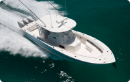
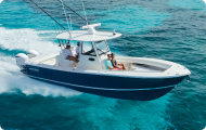
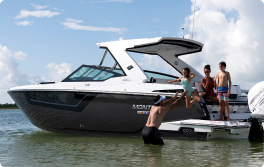
How to Use a Marine GPS System for Boating
The more satellite signals your GPS receives, the more accurately it can calculate your position, and while accuracy depends on a variety of factors ranging from atmospheric conditions to receiver quality, a common GPS receiver can typically put your position within a 16-foot radius when multiple satellites are in view. High-end receivers with two channels can achieve much higher levels of accuracy.
- Once you’re on the road, your GPS will constantly update your location and offer speed and directional information.
- GPS also allows you to save locations, which are referred to colloquially as “waypoints.” This might be useful for sailors to permanently record the position of a channel, shoal, or fishing hotspot.
- You may also connect many waypoints to form a route that will take you from point “A” to point “Z.”
Originally, boating GPS equipment indicated your position in latitude and longitude, and while that information is still available, most current marine GPS users utilize a digital chart to see where they are, similar to how you may look at a street map indicating your position on your mobile phone. A “chartplotter” or “GPS/chartplotter” is a GPS that can show charts. In addition, digital charts have gotten considerably more extensive in the areas they cover in recent years, with higher detail levels and accuracy. In fact, many current chartplotters allow you to improve the digital charts you see while you drive your boat by matching up your GPS position with depth soundings taken by your fishfinder.
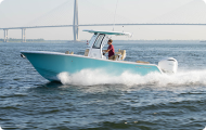
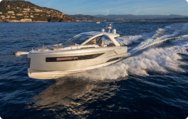
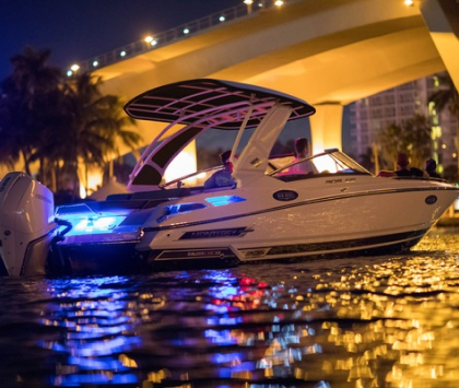
GPS Marine Navigation
GPS navigation is typically the most effective and simple way to navigate a boat, but far too many people utilize it as a graphical depiction rather than a numerical one. You may use your GPS device to show a digital chart and guide the boat so that the boat symbol in the middle of the screen points in the right general direction. However, you’ll steer far more correctly if you utilize a specialized “steering screen” that displays the numeric compass direction you wish to follow, the route you’re steering, and an arrow or indicator that indicates whether to steer to port or starboard to go back on the most direct track.
While most of us rely on GPS to manage our boats the majority of the time, no one should ever rely on it completely. GPS, like any electrical system, is prone to malfunction, and you’ll need to know how to go back home if your gadgets fail.
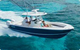
Why Do You Need GPS on Your Boat?
Even sailors who never leave shore should have a GPS/chartplotter on board almost any boat. You never know when you’ll run into fog, or when a mechanical problem may compel you to remain out late and go home in the dark. And it’s moments like this that you’ll be glad you have GPS on board. Plus, today’s systems are so cheap (a basic GPS/chartplotter can be had for a couple hundred dollars) that there’s really no reason not to have one.
Wait a minute—you already have GPS on your phone, so why acquire another one especially for your boat? That’s a fantastic question, especially because you can use a variety of boating applications to transform your phone into a mini-chartplotter. Cell phones, on the other hand, have a number of disadvantages:
- They aren’t usually tough enough to avoid harm when spray begins to fly or they fall off the dash and onto a fiberglass deck.
- They aren’t hard-mounted at the helm, and only a few add-on mounts can withstand the vibration and impacts of a running boat.
- Their batteries may discharge quicker than intended, and many boaters frequently venture outside of cell service zones.
While having a smartphone with a navigation program set up might be useful and is a nice backup to have onboard, it should never be relied on as your primary navigational tool.
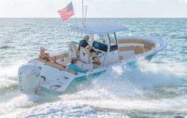
Other Applications for GPS on Boats
Anchor Alarm
The option to set an “anchor alarm” is a GPS function that is very beneficial for boaters. While your boat is at anchor, you may set up a geofence around it, and if the anchor drags or the line breaks free and your boat passes over the geofence, your GPS will sound an alert.
Security System
Some modern systems also allow you to connect to your boat’s GPS from away via an app on your phone, acting as a security system. You may set up a geofence around your boat, and if someone tries to steal it, you’ll receive an SMS alert as soon as it moves out of place.
Additional Features
If your GPS is “networked” (connected to the other devices on the boat), it may do a variety of extra duties.
- It may direct the autopilot and overlay extra data (such as boat radar) over the digital charts.
- Most critical, provide your VHF radio with information about the boat’s location. You may use your VHF for DSC when it gets position data (digital selective calling). If you do this, the Coast Guard will get your precise position data through radio broadcast if you ever need to contact them. This might be a life-saving function.
Visit the official U.S. Government GPS page to learn more about GPS, view the government’s official remarks on it, read FAQs, and more.