


Navigating Tampa Bay requires more than basic boating knowledge. With shallow flats, busy shipping channels, bridges, spoil islands, and ever-changing sandbars, having the right GPS and navigation tools is essential for safe and stress-free boating.
Whether you’re cruising the bay, heading offshore into the Gulf, or navigating narrow channels at low tide, the right electronics help you stay on course, avoid hazards, and enjoy more time on the water. Below are the best GPS and navigation tools for Tampa Bay boaters, along with why they matter in local waters.
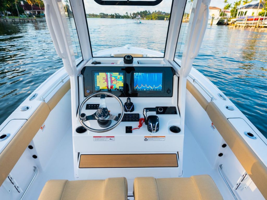
1. Dedicated Marine GPS Chartplotters
A marine GPS chartplotter is the foundation of safe navigation in Tampa Bay. Unlike phone apps, chartplotters are built for constant exposure to sun, salt, and spray.
High-resolution coastal charts clearly show channels, markers, flats, and shoals.
Real-time GPS positioning helps boaters stay within marked channels at low tide.
Bright, sunlight-readable screens improve visibility during midday runs.
Waypoint and route planning make it easier to navigate familiar and unfamiliar areas.
2. Tampa Bay–Optimized Nautical Charts
Accurate chart data is just as important as the GPS unit itself. Tampa Bay’s depth and bottom conditions can change, so updated charts are critical.
Detailed depth contours to help avoid shallow flats and sandbars.
Marked navigation channels and aids for safer transits.
Frequent updates reflecting shifting depths and new hazards.
3. Sonar and Depth Sounders
In Tampa Bay, knowing what’s beneath your boat is just as important as knowing where you’re going.
Real-time depth readings help avoid grounding in shallow areas.
Bottom contour tracking assists when navigating flats or approaching sandbars.
Fish-finding capability adds value for anglers fishing bridges, reefs, and channels.
4. Radar Systems for Low Visibility
Foggy mornings, rain showers, and nighttime runs are common in Tampa Bay. Radar adds an extra layer of safety when visibility drops.
Detects boats, land, and markers beyond visual range.
Improves safety during early-morning or night navigation.
Adds confidence when navigating busy shipping lanes.
5. Mobile Navigation Apps (Backup Use)
Mobile navigation apps matter because they provide a secondary navigation option if your primary GPS loses power, signal, or functionality.
Provides navigation if onboard electronics fail or lose power.
Helps confirm your position in unfamiliar or shallow areas.
Allows route planning and quick checks without leaving the helm unattended.
Recommended Boats Built for Advanced GPS & Navigation Use in Tampa Bay
Here are some of our to receive boats that are well-suited for Tampa Bay boating and are designed with helm layouts, electronics integration, and navigation readiness that support modern GPS, chartplotters, sonar, and radar systems.
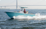
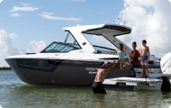
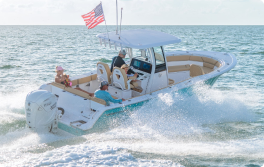
2026 Sportsman Open 212 Center Console – $103,450*
The Sportsman Open 212 is a strong entry-level option for Tampa Bay boaters who want dependable navigation support for bays, flats, and nearshore runs.
Top Features:
Center console helm designed to support GPS chartplotters and sonar units.
Open sightlines improve situational awareness in busy waterways.
Shallow-water-friendly hull pairs well with real-time depth readings.
Accommodates up to 10 passengers, making it a great choice for family-friendly bay boating.
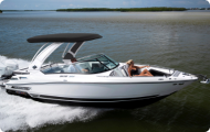
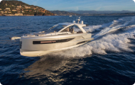
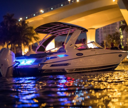
2026 Monterey Elite 27 – $198,182*
The Monterey Elite 27 is well-suited for cruising-focused boaters who want strong navigation visibility and electronics integration for Tampa Bay waters.
Top Features:
Spacious helm with modern dash layout supports larger navigation displays.
Protected windshield design enhances screen readability during bright conditions.
Smooth-riding hull pairs well with GPS and radar for longer coastal runs.
Accommodates up to 12 passengers, perfect for group cruising and social outings.
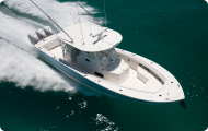
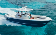
2025 Regulator 23 – $248,202*
The Regulator 23 is built for confident coastal and nearshore navigation, making it ideal for Tampa Bay boaters who rely on accurate GPS and depth data.
Top Features:
Dedicated helm space designed for advanced marine electronics displays.
Deep-V hull pairs well with sonar and depth sounders when navigating shallow areas.
Clean, uncluttered helm layout keeps navigation data easy to read at a glance.
Offshore-capable design benefits from radar integration for low-visibility conditions.
Accommodates up to 8 passengers, ideal for focused navigation and nearshore runs.
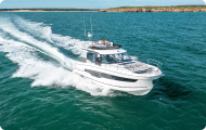
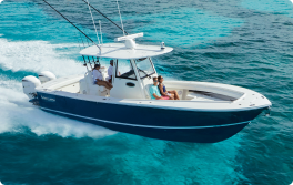
2024 Jeanneau Leader 9.0 WA Series 2 – $299,745*
The Jeanneau Leader 9.0 WA Series 2 is an excellent choice for boaters who prioritize precision navigation and visibility when cruising coastal waters and navigating busy channels.
Top Features:
Wide, modern helm console designed to accommodate large GPS chartplotters.
Enclosed windshield and protected helm area improve screen visibility in sun and spray.
Integrated electronics layout supports GPS, sonar, and radar installations.
Accommodates up to 10 passengers, making it well-suited for family cruising and coastal navigation.
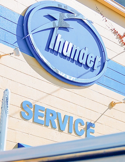
Upgrade Your Navigation System at Thunder Marine
Whether you’re cruising the bay or heading offshore, the right navigation setup makes a difference. At Thunder Marine, our team helps boaters choose and install GPS and navigation systems that fit their boating style.
Call (727) 381-4444 or visit Thunder Marine in St. Petersburg to learn more about marine GPS and navigation upgrades. It’s not just a boat—it’s a lifestyle!
*Prices can and may change at any time without notice.